 Published by Shaun Behrens
Last updated on March 03, 2022
•
4 minute read
In our last round-up, we showed you some nifty PRTG tricks that you might not have known. Well, guess what, we've got some more of the good stuff! Here come some more PRTG quick tips.
Insert Images into Maps
Yes, we already have a lot of cool images, icons, and more that you can use in your maps (donuts, anyone?). But maybe you need to use your own image for something? Like a picture of your building, or maybe a photograph of your server, or even of your last lunch in the canteen. Whatever it is, here's how you insert your own externally-hosted images into maps:
Insert Horizontal Lines into Maps
Since we're on the subject of maps, sometimes it's useful to use a horizontal line, like when you want to separate different elements of a map. Well, in this case, just insert a horizontal line! Like this:
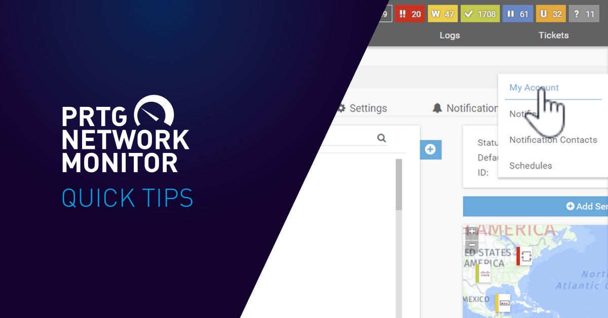
Edit Multiple Sensor Limits At Once
Sensor limits define the thresholds for alerts from the sensor. It's pretty easy to change the limits of a single sensor. But what about for multiple sensors of the same type? ALSO EASY! Here's how:
Add Tags to Your Devices
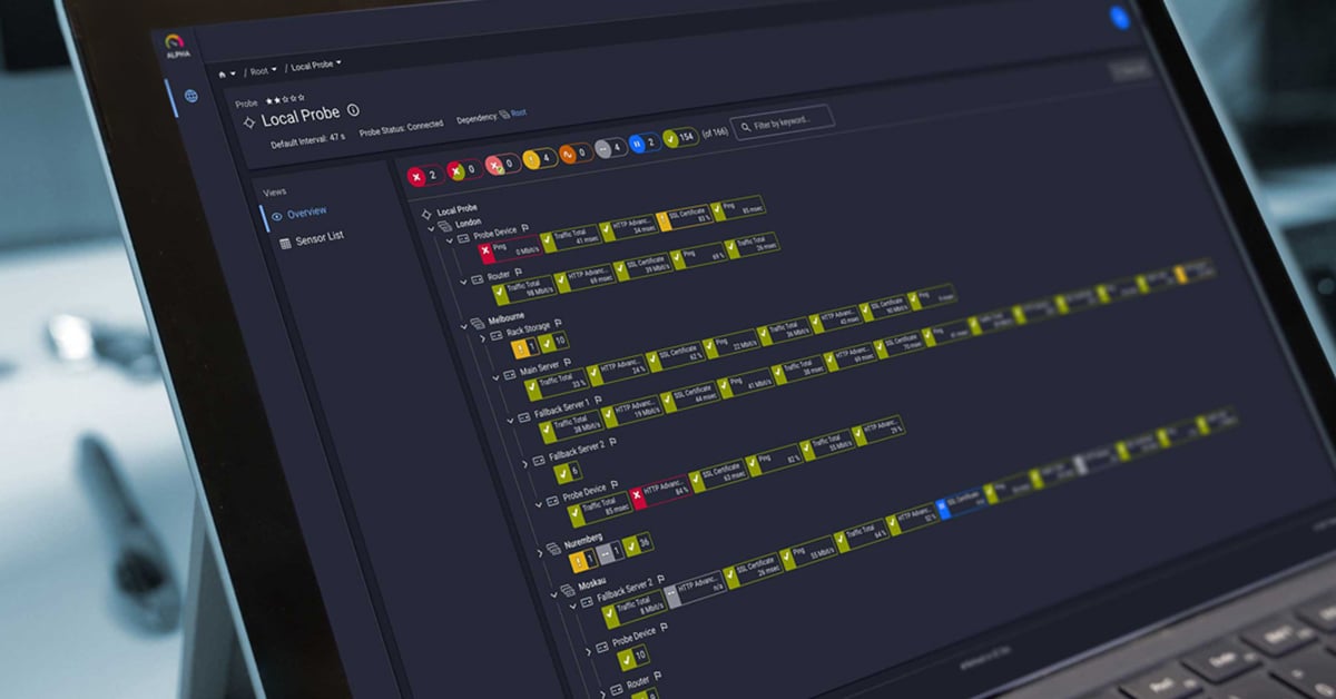
You are probably monitoring a LOT of devices with PRTG. So it helps to have various ways to find specific sensors. One of the ways is by searching for devices with a specific tag, such as geographic location or — like in our Quick Tip video below — data center devices. This is all well and good, but how do you add tags to your devices in the first place? Glad you asked:
And that's it for now! Were these helpful to you? What pro PRTG tips do you have for other users? Let us know in the comments!